The Griffin
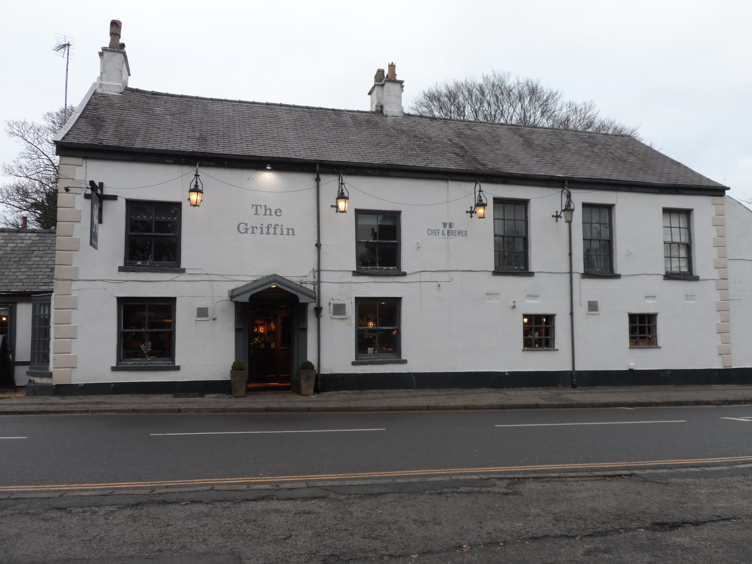
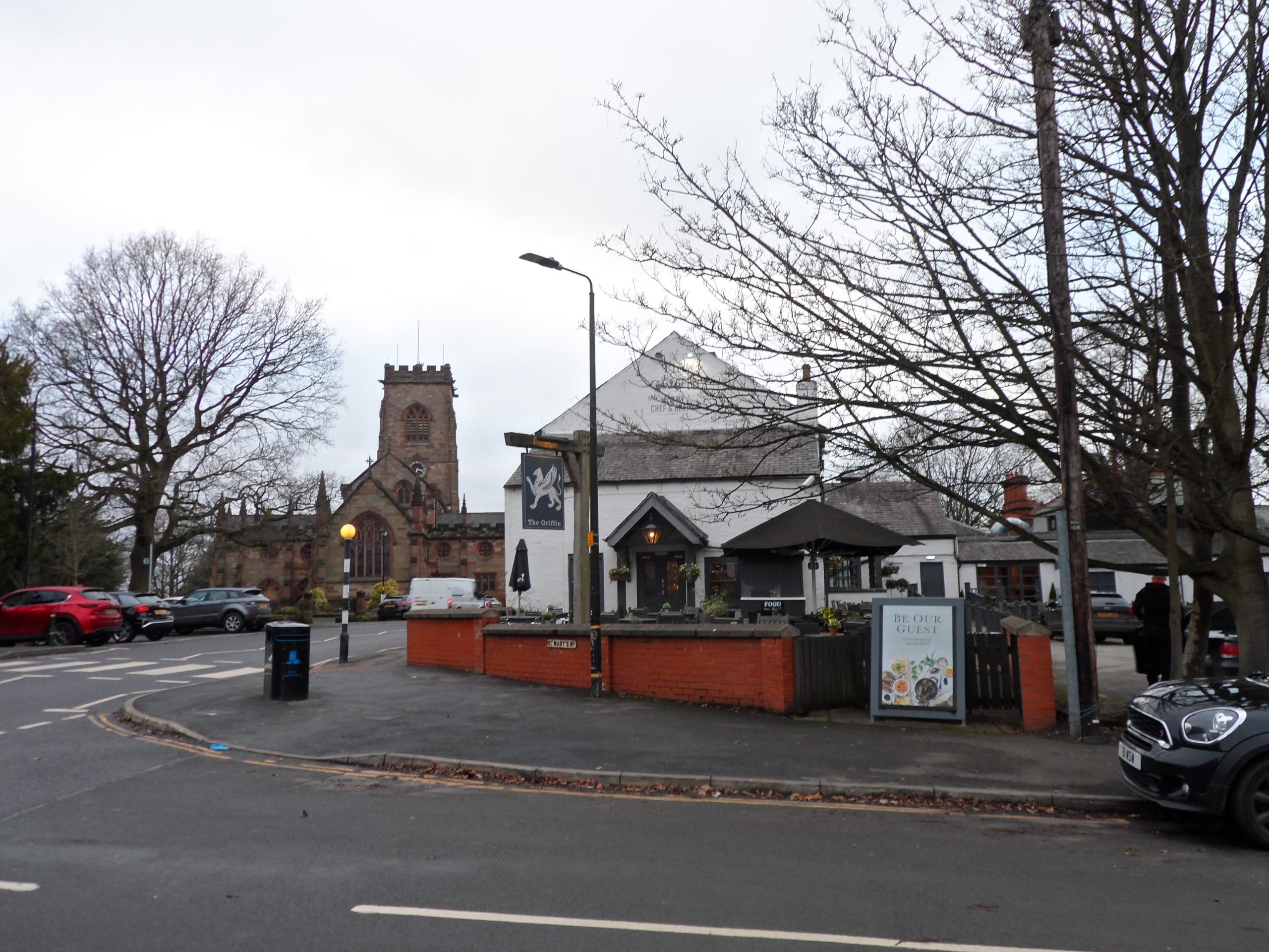
The seventh location on the trail is the Griffin on Stamford Road opposite St Marys Church. The Griffin was originally called the Green Dragon and was built in the late 18th century but may incorporate an earlier building.
The Griffin
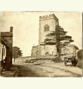
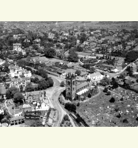
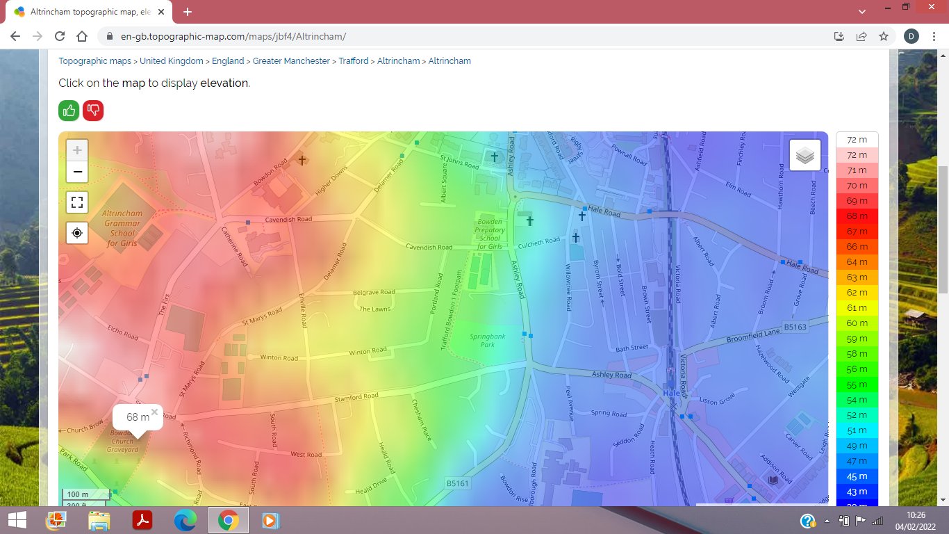
The seventh location on the trail is the Griffin on Stamford Road opposite St Marys Church. The Griffin was originally called the Green Dragon and was built in the late 18th century but may incorporate an earlier building. St. Mary the Virgin’s Church is at the centre of the Bowdon Village Conservation Area. It is situated about 70 metres above sea level and is a landmark from all points of the compass. The church was the only church in Altrincham and Bowdon for hundreds of years. It was mentioned in the Domesday Book and may have been founded about 650AD in Saxon times, but was rebuilt in 1100, 1320, 1510 and 1860. Stones from the older buildings on the site are scattered around Bowdon gardens. The remains of a Saxon Cross of about 750AD lie in the Chapel of the Cross and there are also fragments of the Saxon, Norman and Medieval churches, some collected from local gardens. A sundial post in the graveyard may have been a Saxon cross. A well-preserved Saxon silver penny of Edmund of about 940 was found in the graveyard in the 19th century and documented but lost. Bowdon Church is the highest point on the trail and the oldest location. St Mary’s Road next to the Griffin leads back to Altrincham following Envlie Road, Higher Downs and Downs. The Higher Downs was built in 1851 and the houses are numbered from 1 to 15 from the bottom of the road. The Altrincham Dunham boundary stone of 1840 is in the garden wall of number 1 and marks the boundary of the 1290 Borough of Altrincham. The Downs Hotel at the bottom of the Downs was a posting house and dates from around 1850. Trams from Manchester used to turn around here from 1907 to 1931.
