Beacon

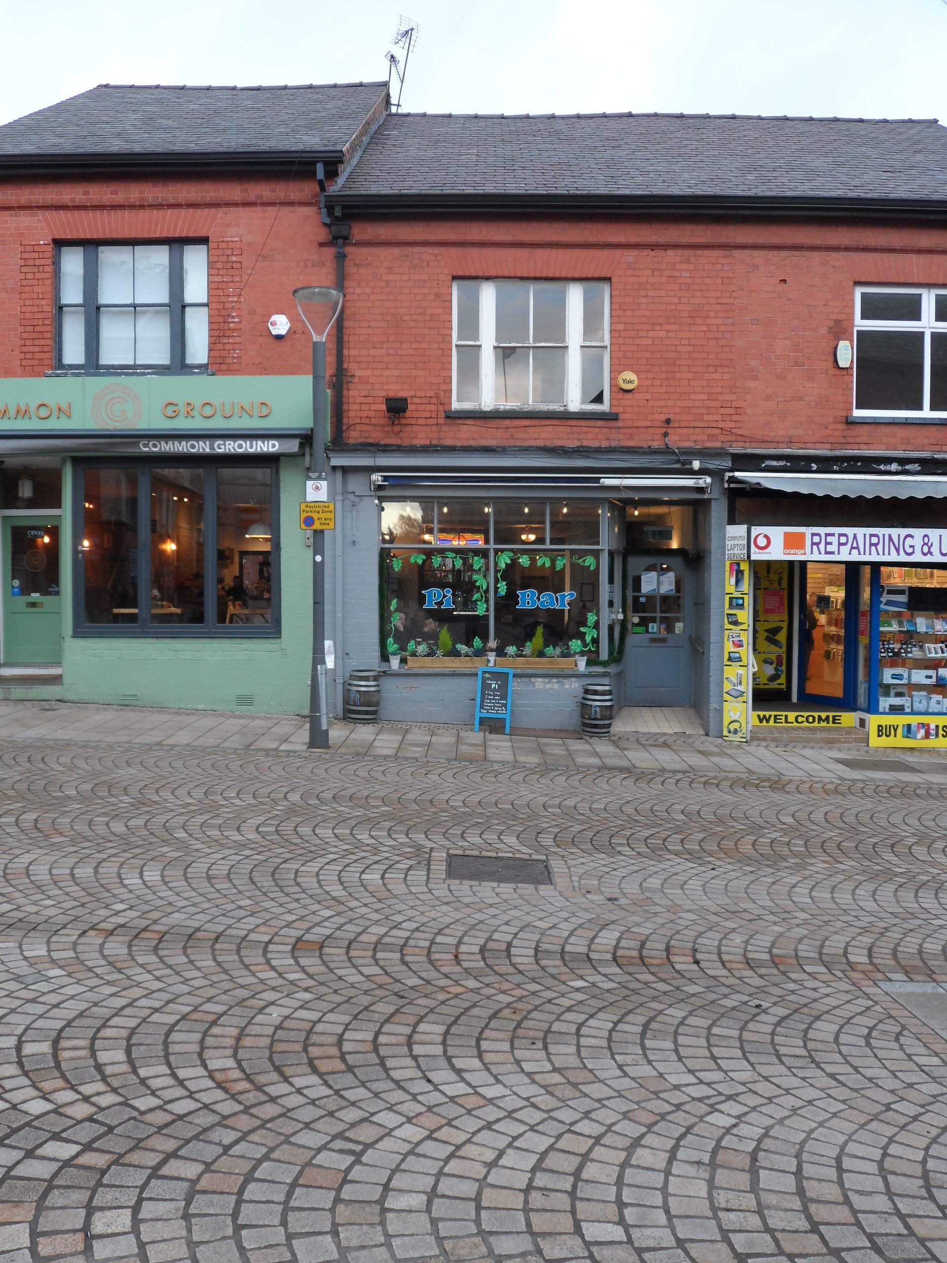
The fifth location on the trail is the Pi bar at 18 Shaws Road where we take a short detour around the Market Hall opposite before returning to Market Street.
Pi
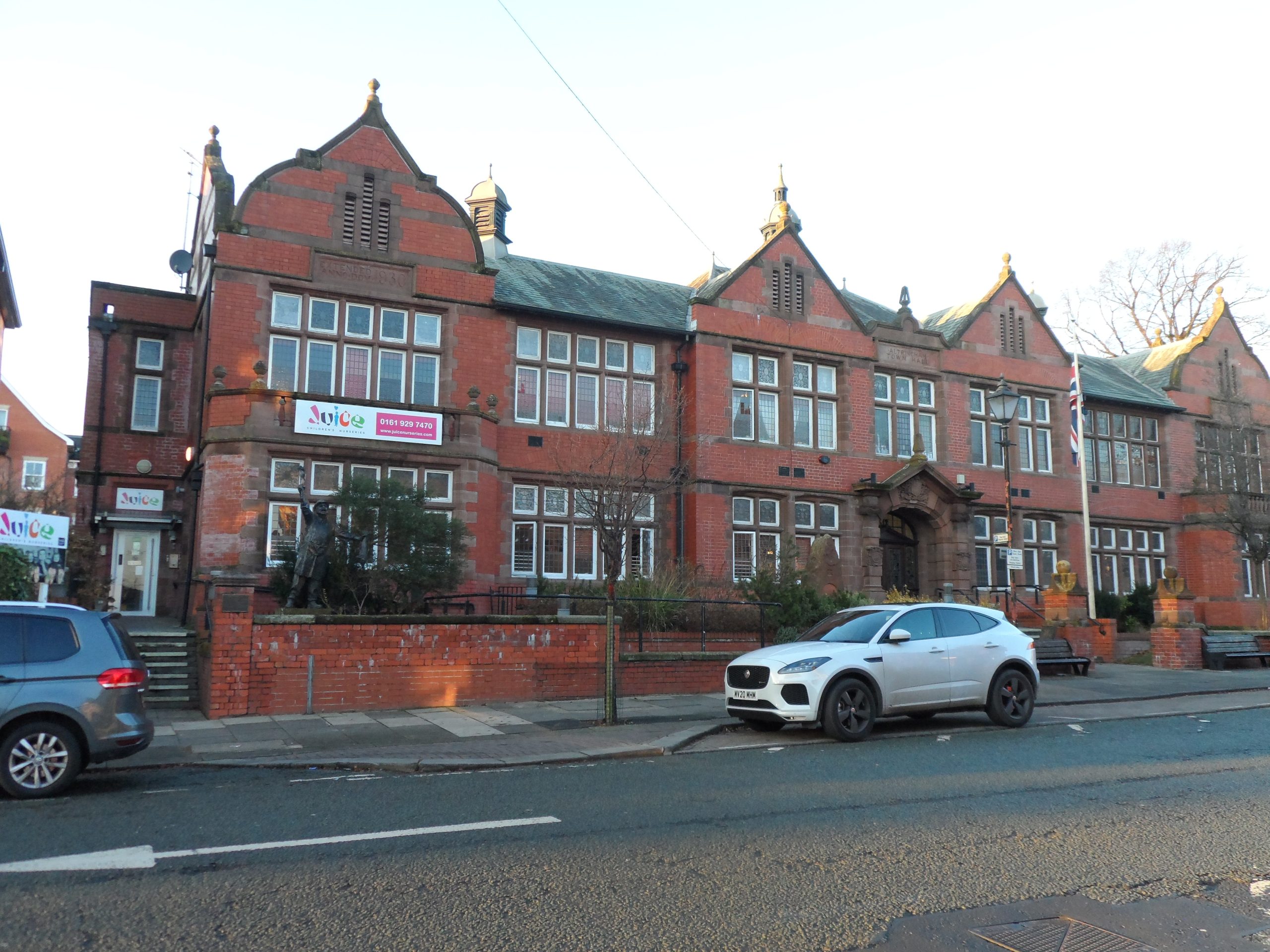
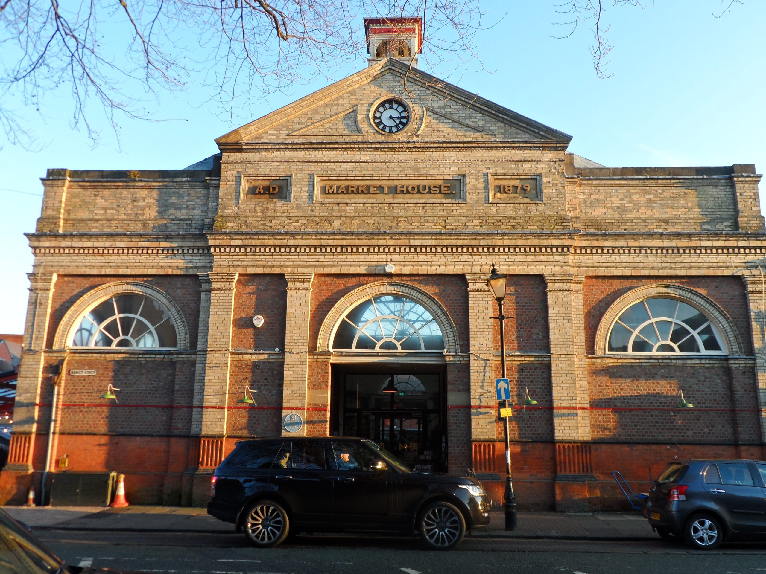
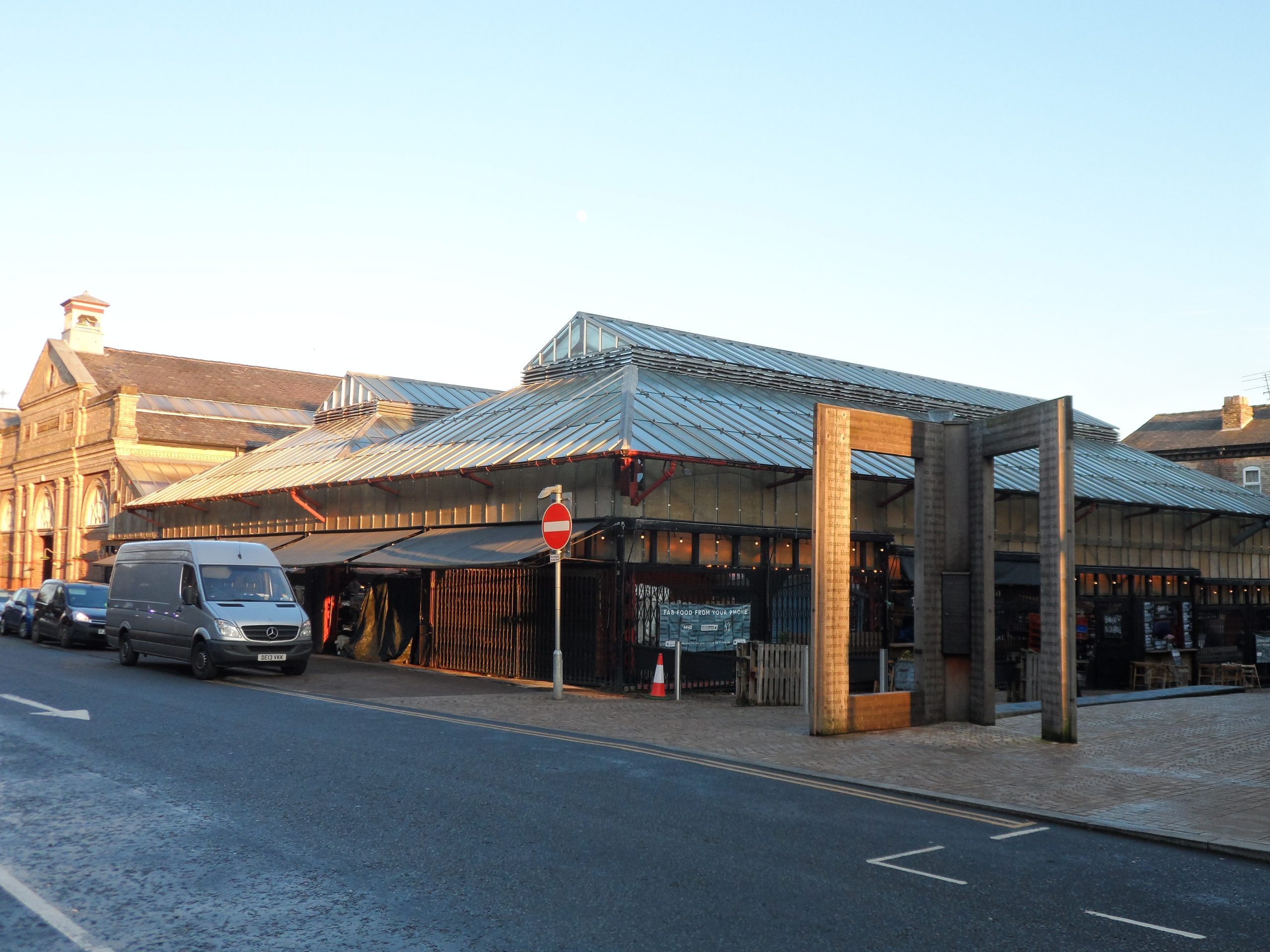
The fifth location on the trail is the Pi bar at 18 Shaws Road where we take a short detour around the Market Hall opposite before returning to Market Street. The alignments of Market Street, George Street, Shaw's Road and Regent Road were probably laid out when the medieval borough was created at the end of the thirteenth century. Market Street and George Street are parallel to the line of the old Roman road, with Regent Road and Shaw’s Road at right angles. Such a grid pattern was common in towns created in the twelfth and thirteenth centuries. There may also be some Roman planning influence in that the outer boundary of the borough may reflect Anglo-Saxon or medieval field boundaries in the area, which may themselves have followed Roman field boundaries. The new Town Hall at the junction of Shaws Road and Market Street was built in 1900 and the extension on the left dates to 1930. The two shops on the corner facing the town hall were built in 1893 while the shops lower down Shaws Road were built in the 1960s. The Market House was built on meadows in 1879 and the glass covered outside market was added in 1930 on the site of the Cheshire Rifle Volunteers Training Ground.


